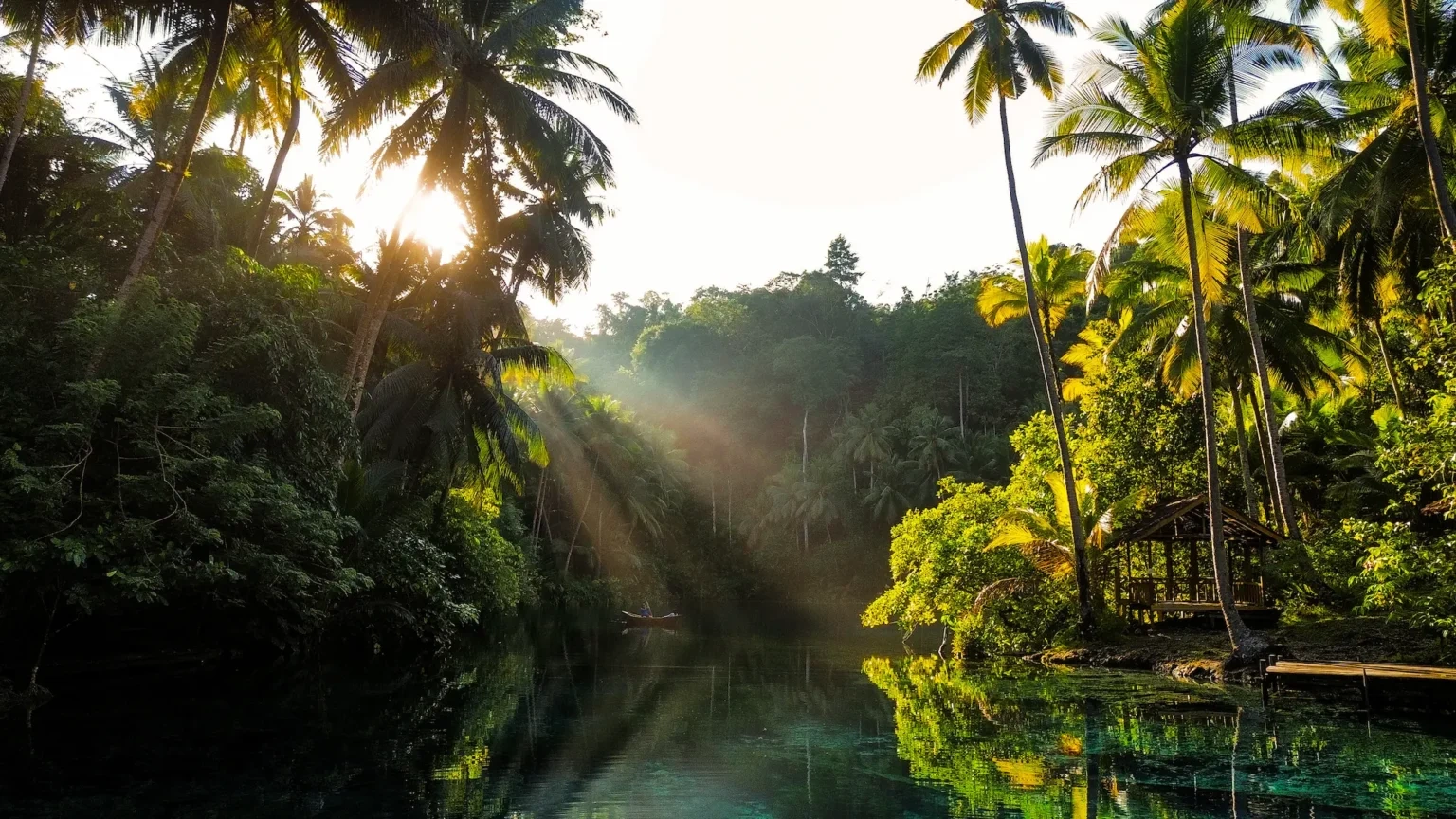
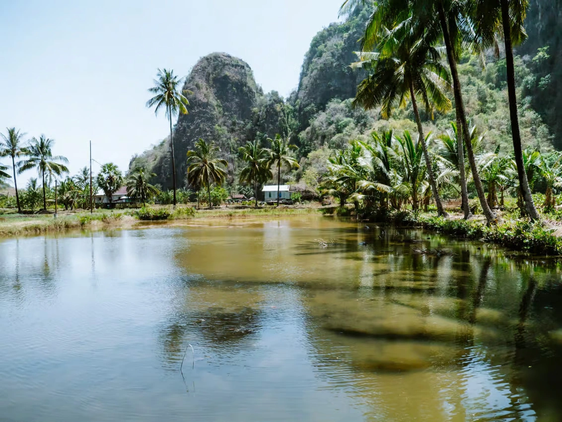
 Banggai ArchipelagoThe Banggai Islands, off eastern Central Sulawesi: Lake Paisupok on Peleng Island, reef diving, and the Banggai cardinalfish, native only to these islands.Read more
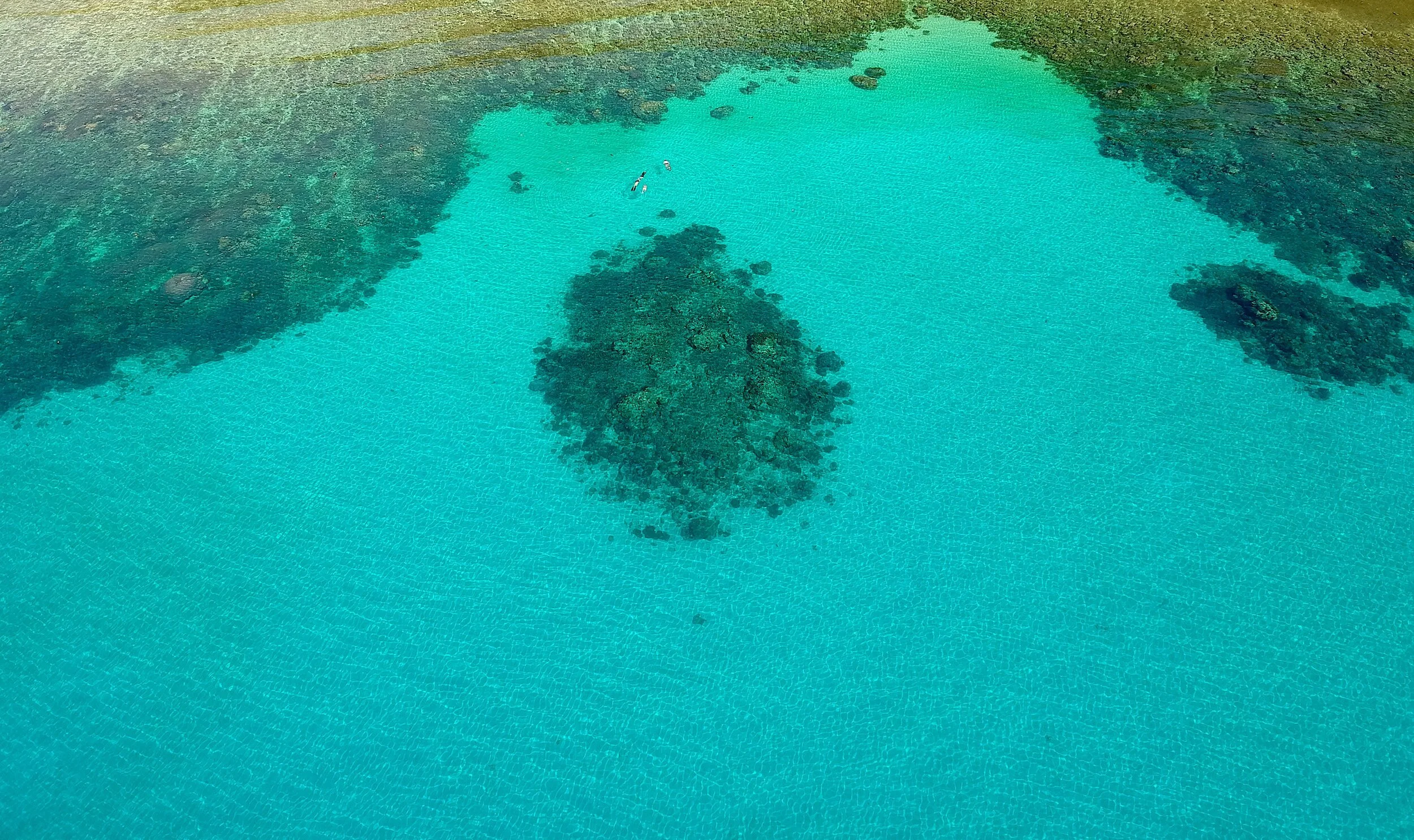 BangkaBangka Island, off the northern tip of North Sulawesi: soft coral pinnacles and quiet dive resorts, reached by boat from Likupang.Read more
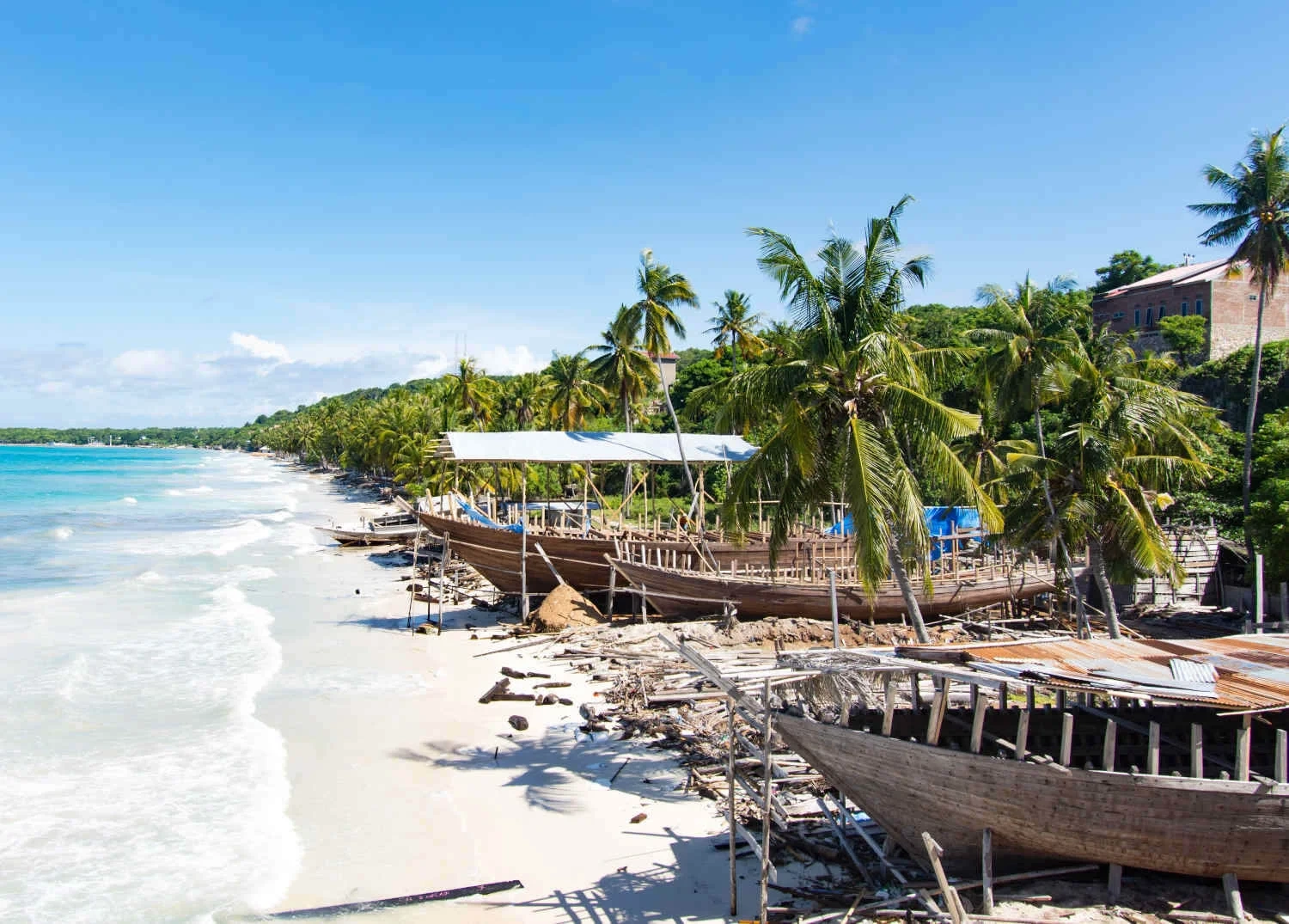 BiraTanjung Bira, at the southern tip of South Sulawesi: white sand beaches, clear water for snorkelling, and the pinisi boatyards of Tana Beru nearby.Read more
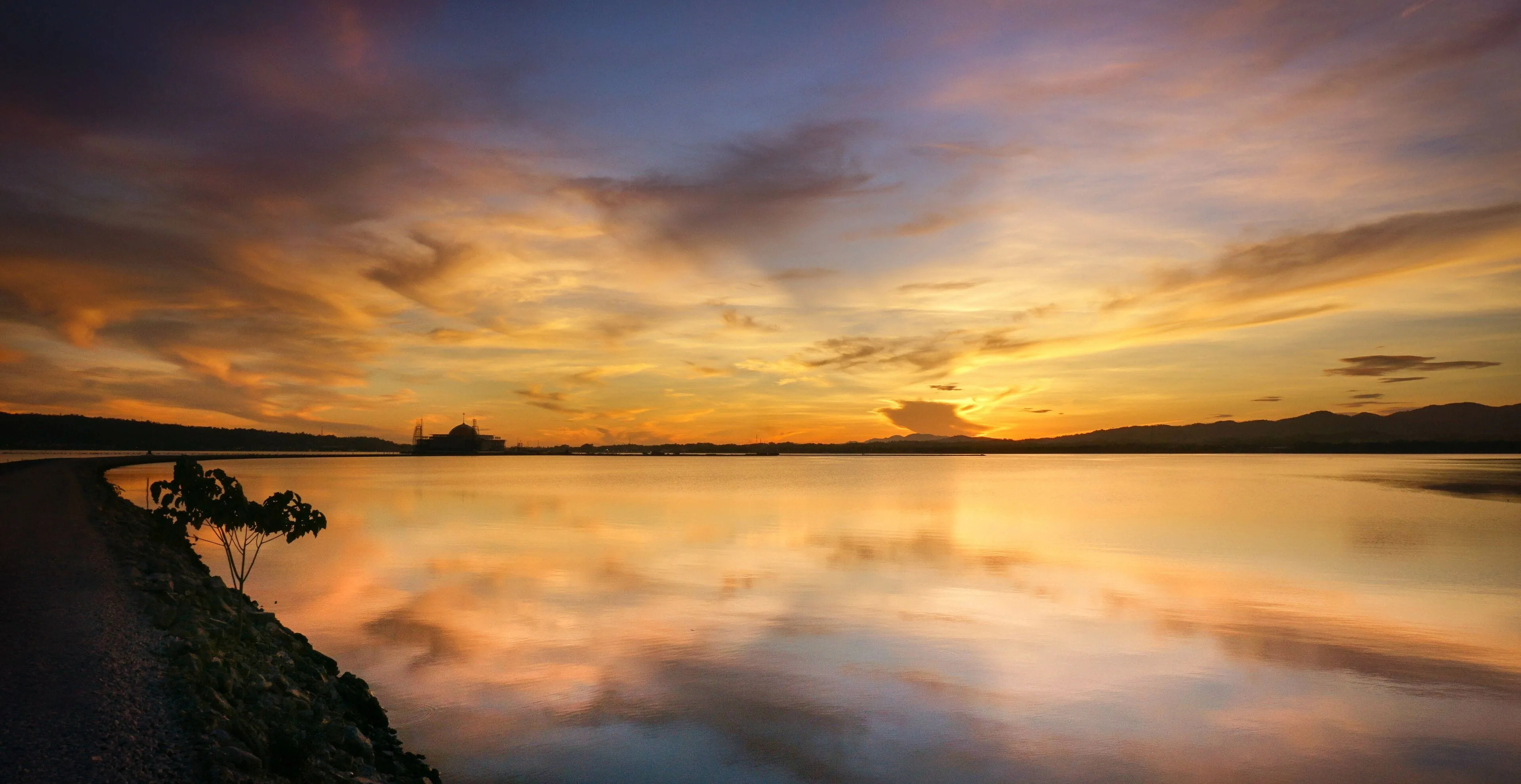
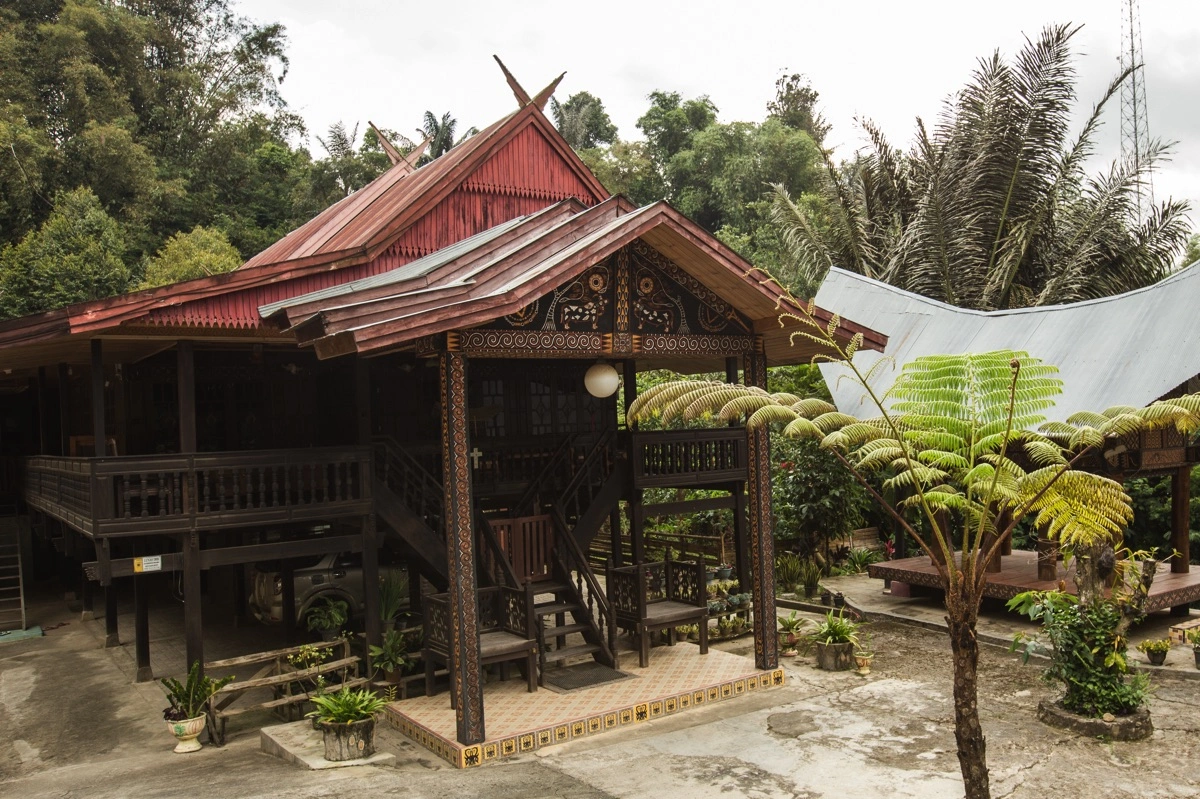
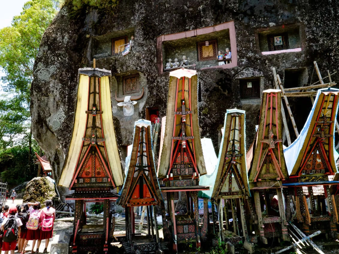 Sulawesi Travel Guide: Plan Your Trip by Region and SeasonPlan a Sulawesi trip in one place: the six regions and what each is known for, when to go, the two gateways, sample routes, visa, money and safety.Read more
- How to Get to Sulawesi: Flights, Ferries and Entry PointsFly to Makassar (UPG) or Manado (MDC), Sulawesi's two international gateways with visa on arrival. Flights, Pelni ships and entry points, October 2026.Read more
- Things to Do in Sulawesi: Diving, Wildlife, Culture and IslandsDiving at Bunaken, Lembeh and Wakatobi, tarsiers at Tangkoko and the tongkonan of Tana Toraja: 21 things to do in Sulawesi, by region and best month.Read more
- Sulawesi Cave Art: The World's Oldest Dated Rock Art and How to Visit
- Pinisi Shipbuilding at Tana Beru: Inside the Bugis Boatyard
- Attending a Toraja Rambu Solo' funeral
- The Bajau at Mola, in the present tense
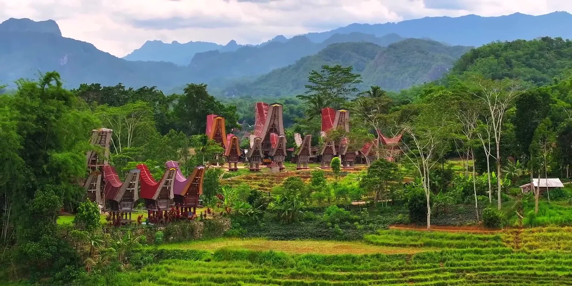
- Reading a tongkonan: the carvings at Ke'te Kesu'
- Understanding Rambu Solo': The Torajan Funeral Ceremony
- All
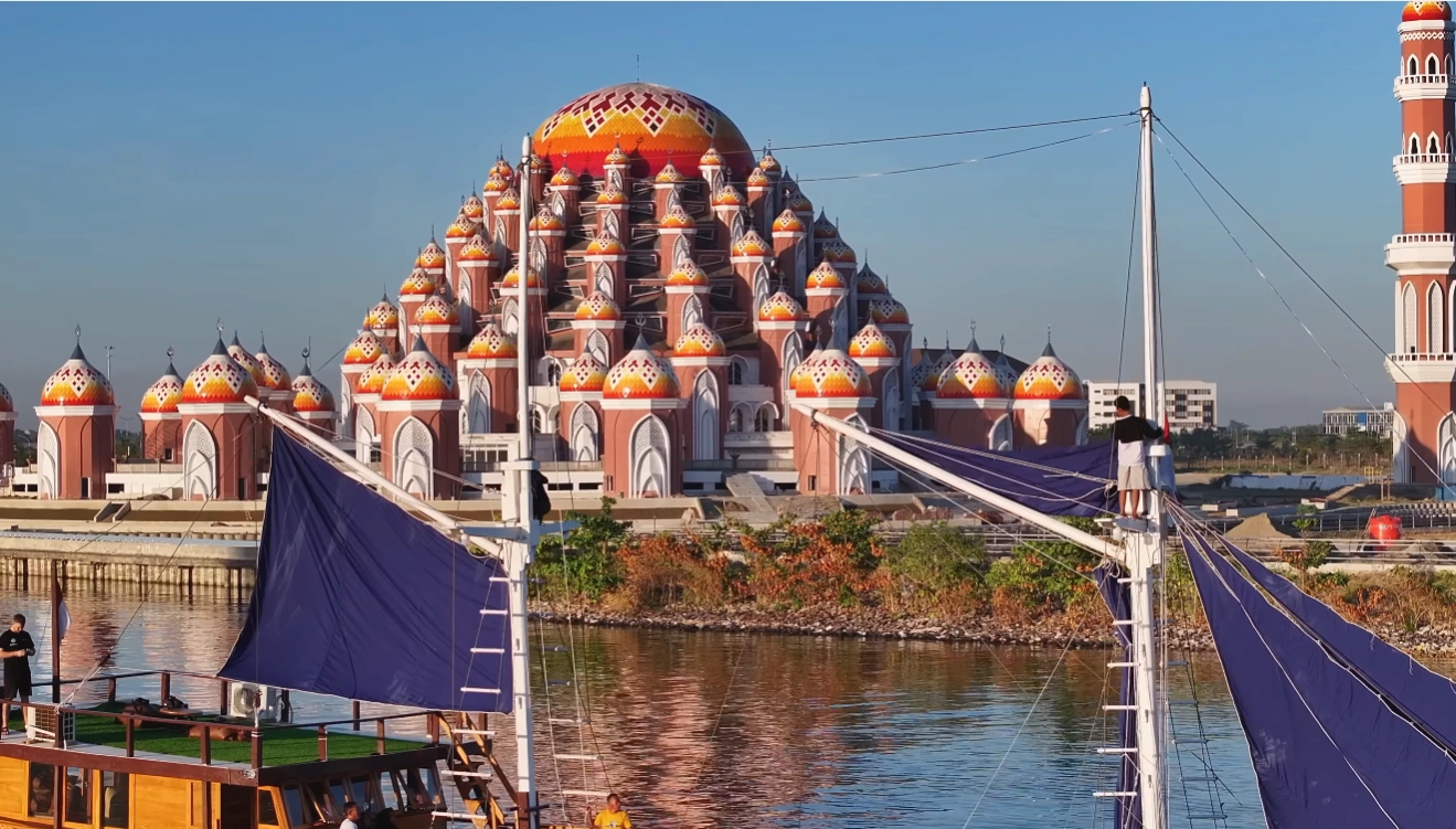
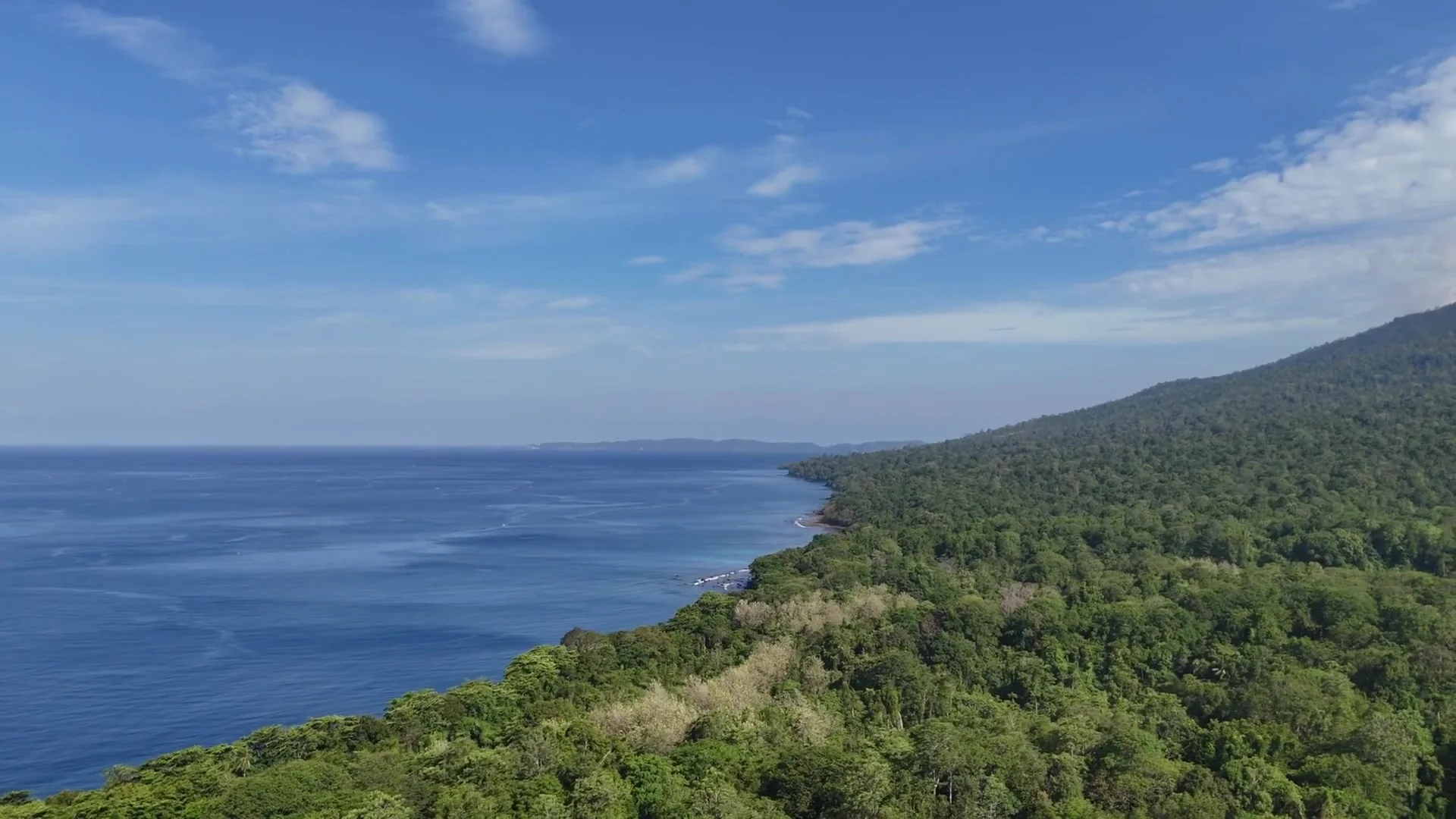
- How to Get to Sulawesi: Flights, Ferries and Entry Points
- Is Sulawesi Safe? Earthquakes, Volcanoes, Sea, Roads and Official Advice
- Manado to Bunaken Ferry: Public Boat or Resort Transfer
- Surviving a Pelni ferry, two nights at sea
- Driving the Trans-Sulawesi, what to expect
- Getting Around Sulawesi: Flights, Buses, and Ferries Explained
- All
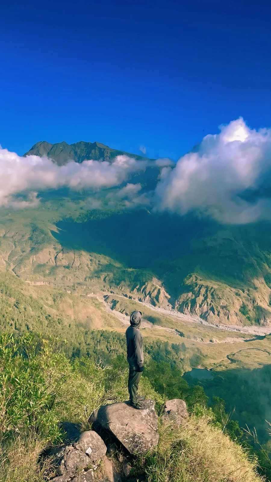 2-Day Lembah Ramma Valley Hiking & Camping TourJourney from Makassar into the cool highlands of Malino for a 2-day trekking adventure through mountain streams and pine forests to Lembah Ramma. Camp overnight in a tranquil valley beneath the shadows of Mount Bawakaraeng, surrounded by lush meadows and dramatic rock wallsRead more
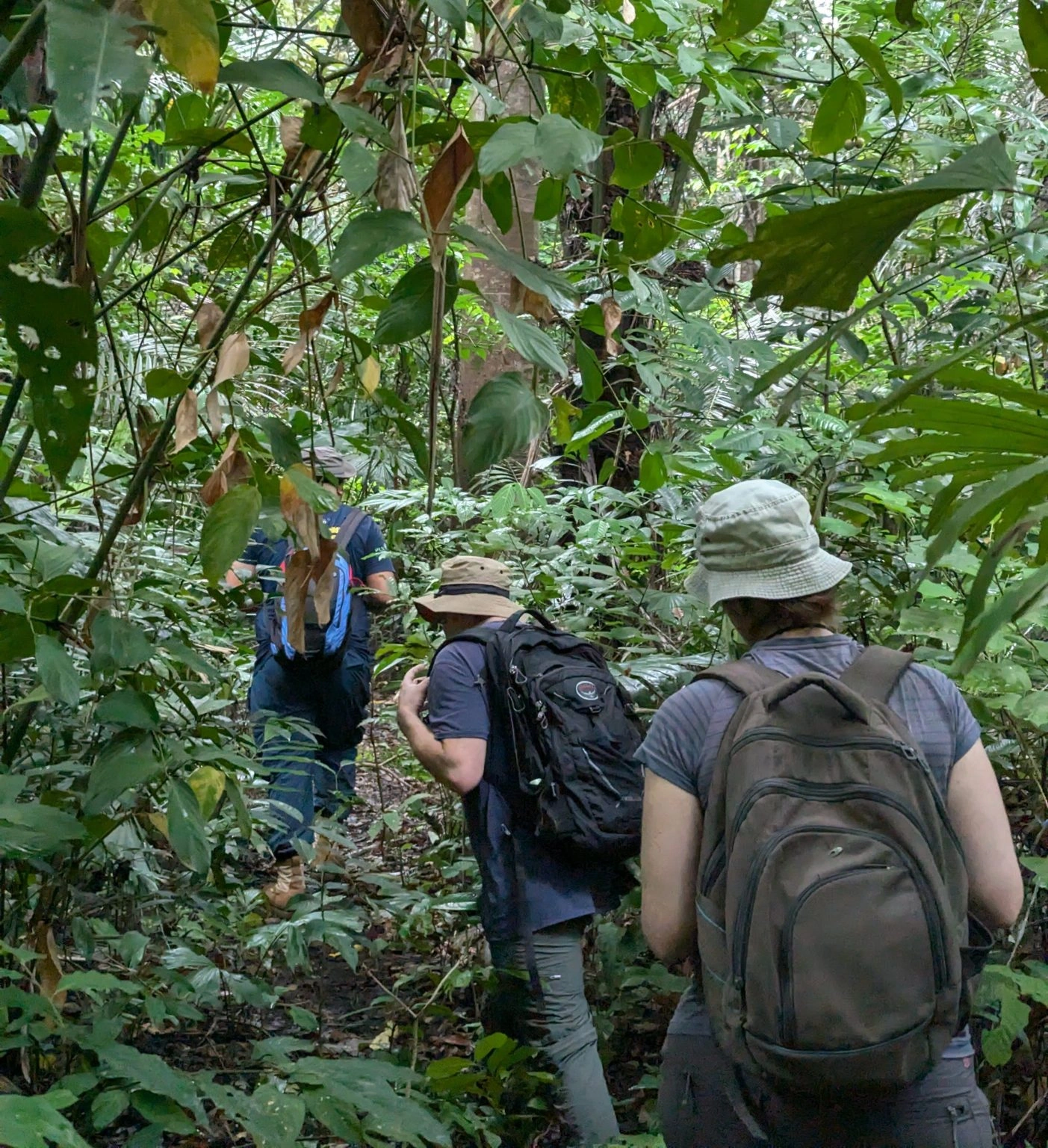 2D1N Tangkoko Nature Reserve Overnight Wildlife SafariExperience Tangkoko Nature Reserve across two distinct wildlife activity windows on an overnight safari. Track troops of Sulawesi black crested macaques, bear cuscus, and nocturnal tarsiers at dusk, then wake for an early-morning canopy trek to spot rare endemic birds and early-rising primatesRead more
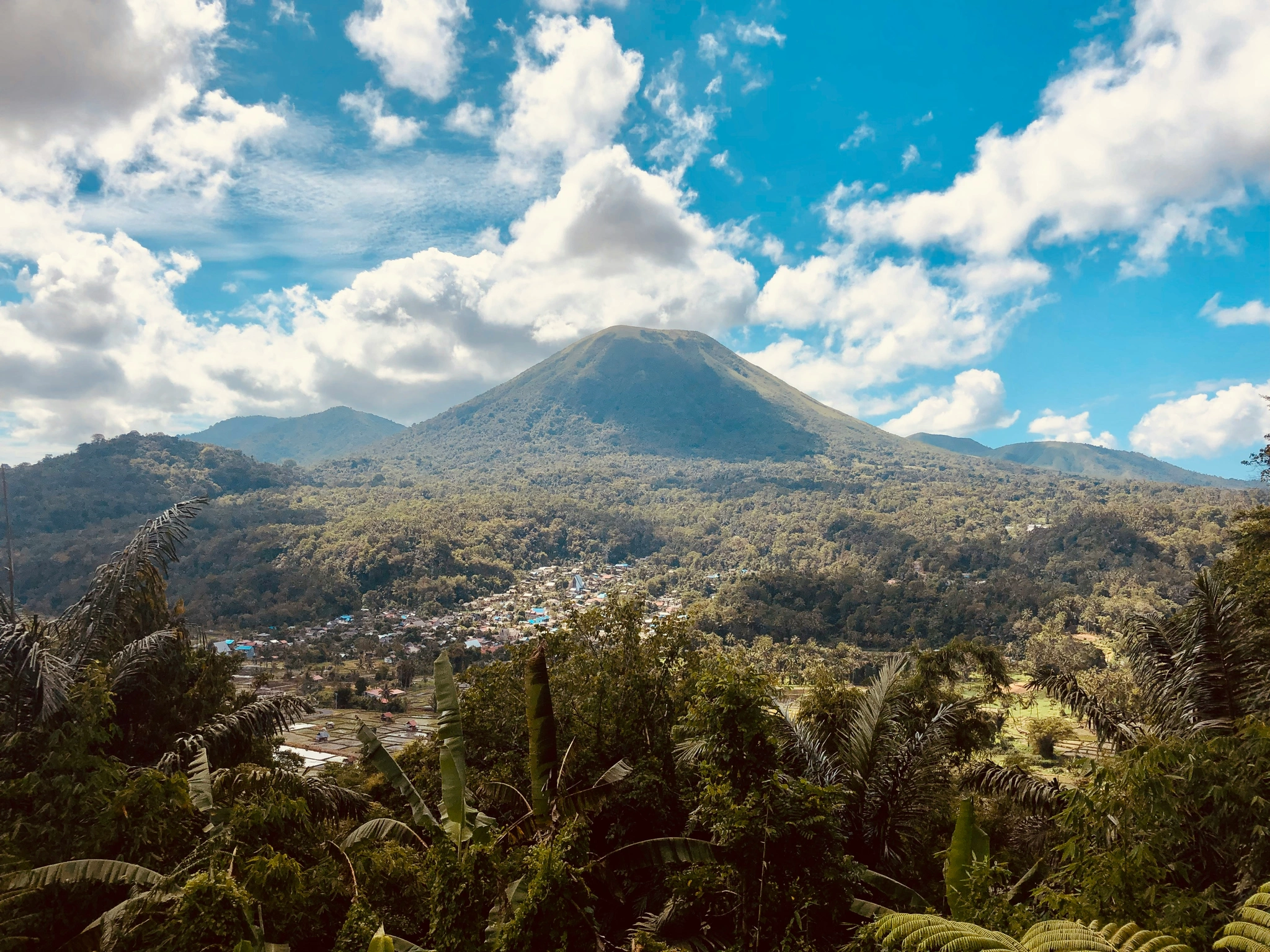 3D2N Manado Highland & Island EscapeDiscover the cool Minahasa Highlands and historic landmarks before venturing out on a boat excursion across Bunaken Marine Park and Nain Island. Wrap up your journey with local culinary experiences and a quick city shopping tour of ManadoRead more
- 2-Day Lembah Ramma Valley Hiking & Camping Tour
- 2D1N Tangkoko Nature Reserve Overnight Wildlife Safari
- 3D2N Manado Highland & Island Escape
- 3-Day Toraja Cultural Immersion & Traditional Villagestay
- 7-Day Mount Gandang Dewata Remote Peak Traverse
- 5-Day Babirusa & Nantu Forest Expedition
- 14-Day Grand South & West Sulawesi Cultural Grand Overland Expedition
- All Trek tours
- 2-Day Lembah Ramma Valley Hiking & Camping Tour
- 3D2N Manado Highland & Island Escape
- 3D2N Makassar & Maros Highlights Tour
- 2-Day Bulukumba & Ammatoa Kajang Indigenous Village Cultural Tour
- 3-Day Toraja Cultural Immersion & Traditional Villagestay
- 7-Day Mount Gandang Dewata Remote Peak Traverse
- 7-Day Banggai Islands Expedition Cruise
- 5-Day Babirusa & Nantu Forest Expedition
- 8-Day Togean Islands Cruise & Beach Hopper Adventure
- 14-Day Grand South & West Sulawesi Cultural Grand Overland Expedition
- All Culture tours
- 2-Day Lembah Ramma Valley Hiking & Camping Tour
- 2D1N Tangkoko Nature Reserve Overnight Wildlife Safari
- 3D2N Manado Highland & Island Escape
- 3D2N Makassar & Maros Highlights Tour
- Bunaken & North Sulawesi Flexible Dive Resort Escape
- 3-Day Toraja Cultural Immersion & Traditional Villagestay
- 7-Day Mount Gandang Dewata Remote Peak Traverse
- 7-Day Banggai Islands Expedition Cruise
- 5-Day Babirusa & Nantu Forest Expedition
- All Wildlife & Birding tours
 Private car with driverDoor to door across Sulawesi, with a local driver. Send us your route, and we reply with a price.Ask for a price
- Road routes27 routes between the towns of Sulawesi, each with its distance and drive time.All land routes
- Tours with transport includedTours put the driving, the stops and the nights together into one trip.See the tours
SOUTH SULAWESI
Taka Bonerate
CORAL ATOLL & SHALLOW LAGOONS
Taka Bonerate
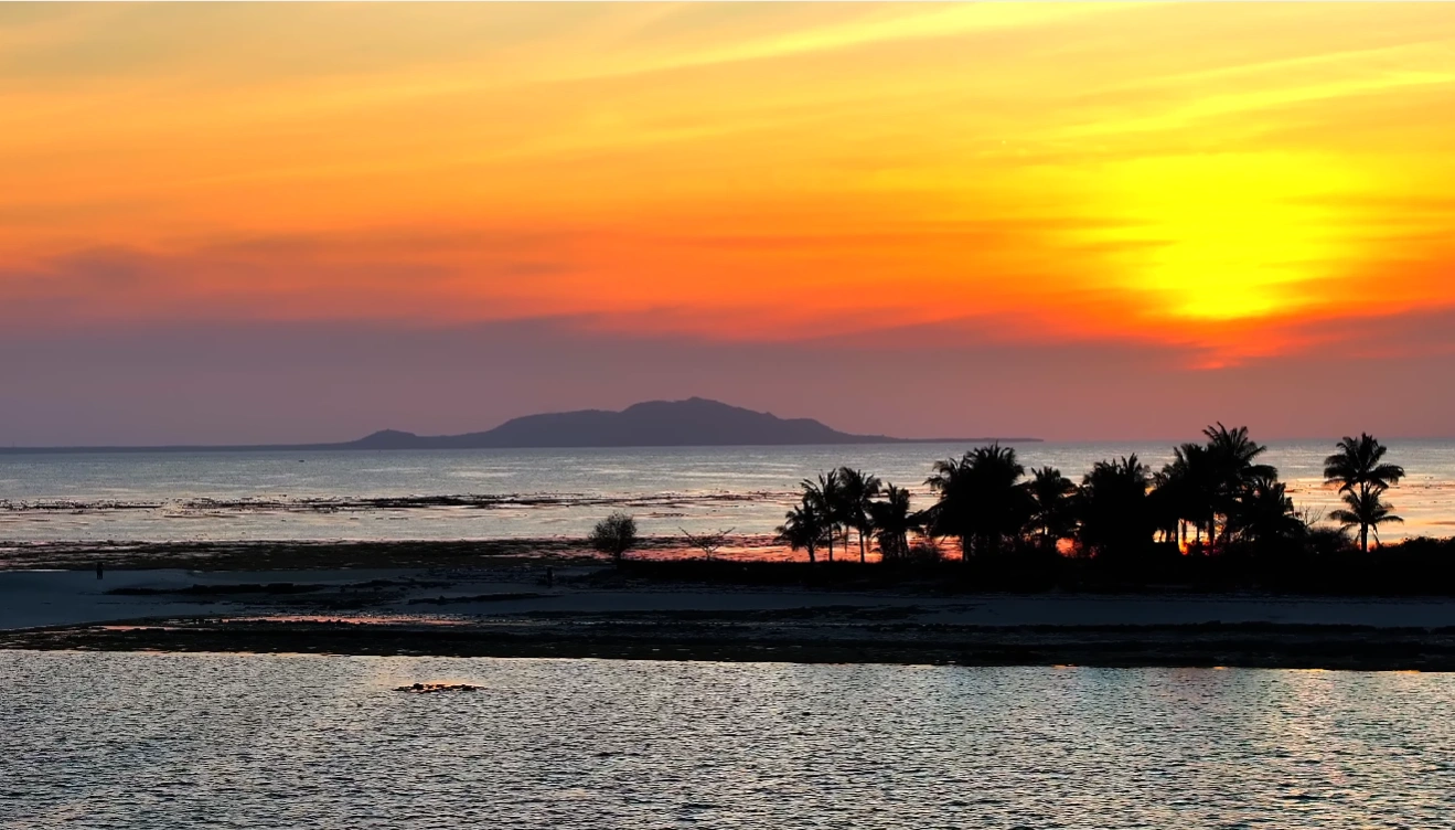
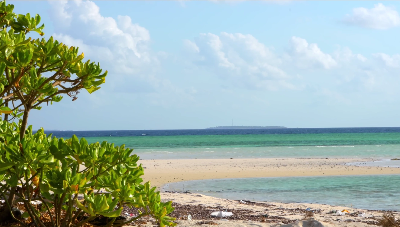
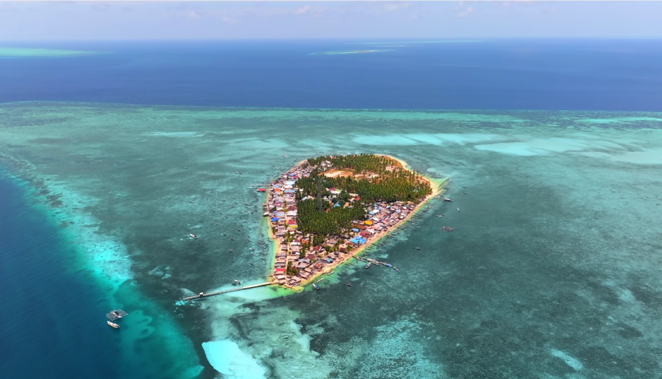
Taka Bonerate is a coral atoll and marine national park, a long boat ride from Selayar. Its reef ring encloses 21 islands. Few travellers make the trip.
Inside the lagoon the water is calm, with dense reef fish and sometimes turtles. Outside the ring, currents are stronger, with larger open-water fish. The park counted 19 dive sites in 2018. Tinabo Island is the most visited, because it is easy to reach and safe for beginners.
A cruise on a pinisi, a wooden schooner, suits snorkellers and free-divers. Scuba diving is arranged separately. Dive operations here are less developed than at Bunaken or Lembeh.
From Selayar, allow three or four nights, boat included. Pinisi cruises from Bira take 4 to 7 days, with stops at Selayar. Come from September to November, when the sea is calm. September and October are also dry. In January and February, waves reach 1.25 m about a fifth of the time.
Taka Bonerate in pictures
01 / 12
01 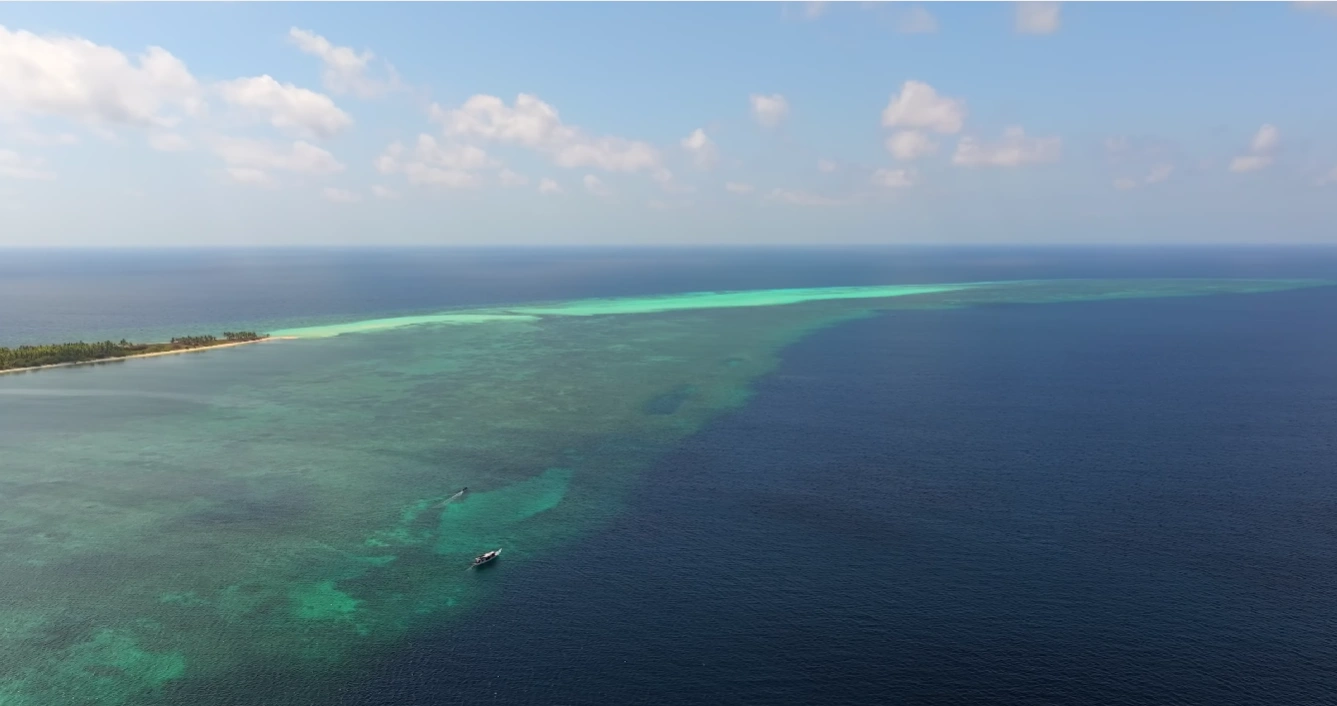
02 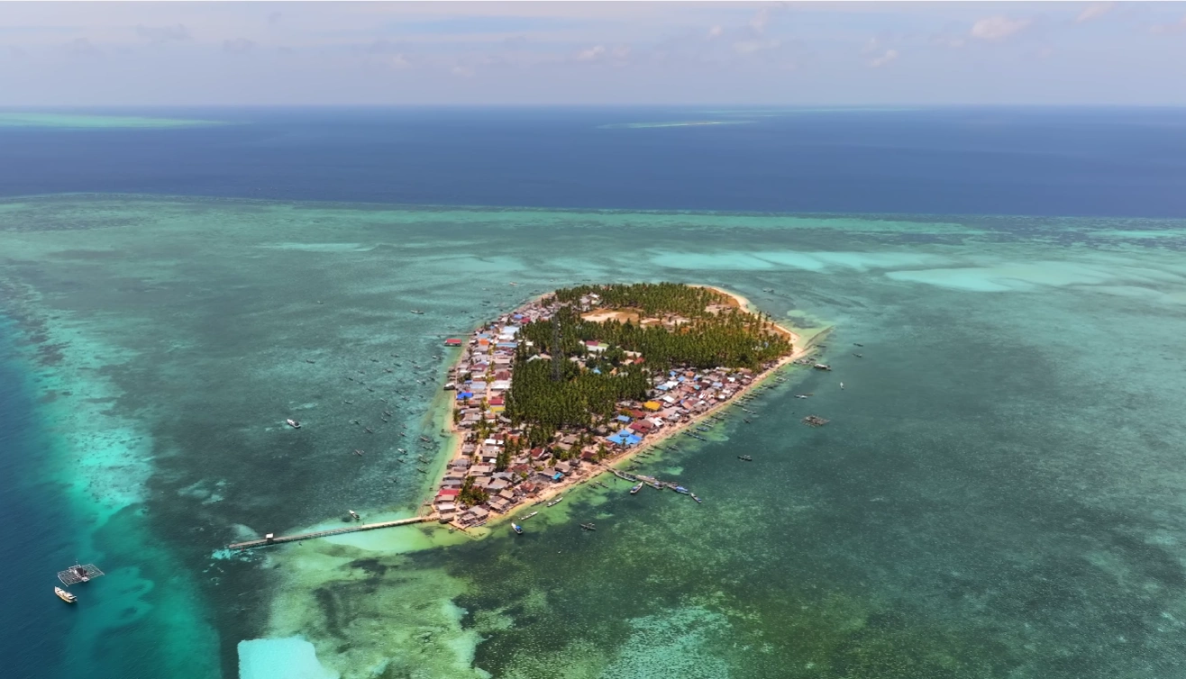
03 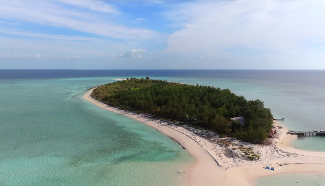
04 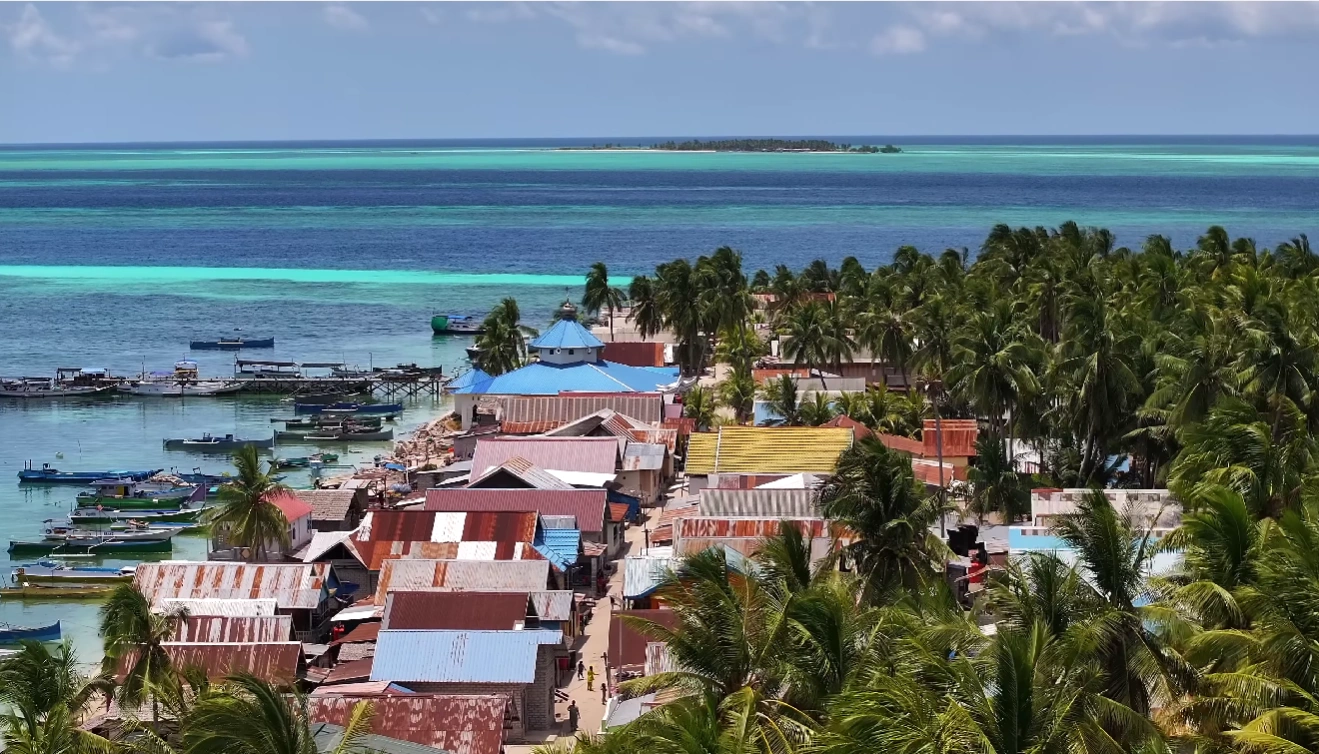
05 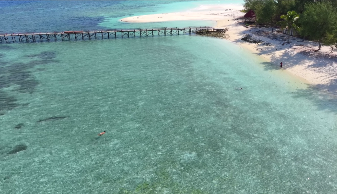
06 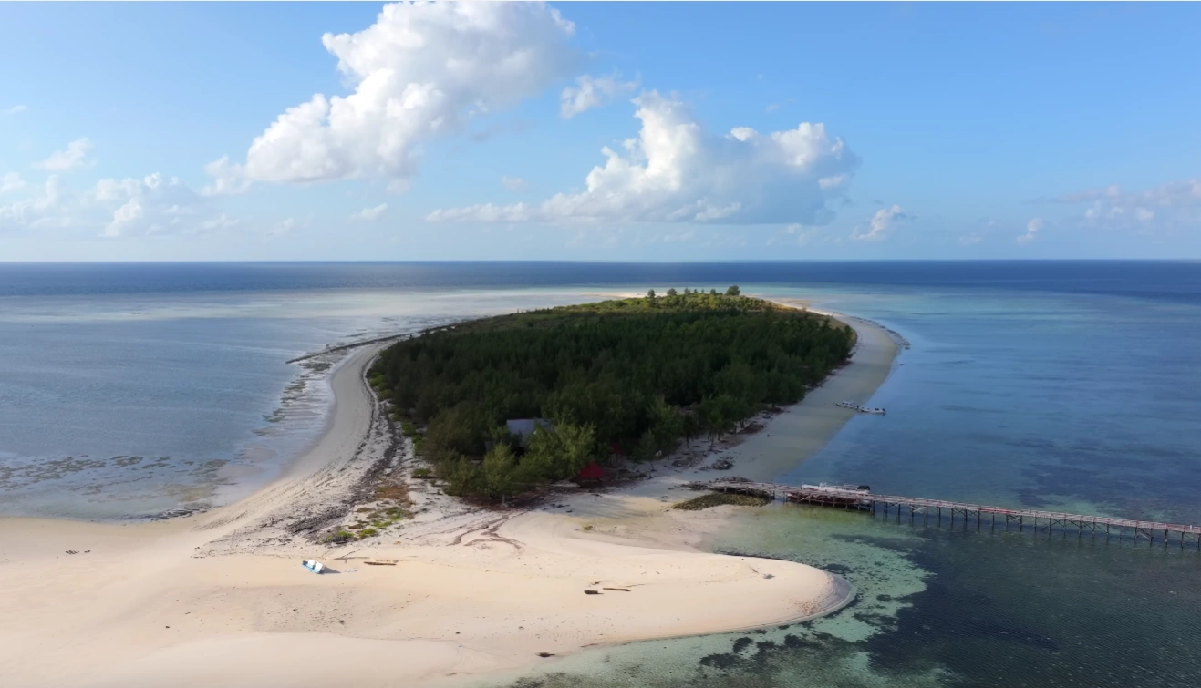
07 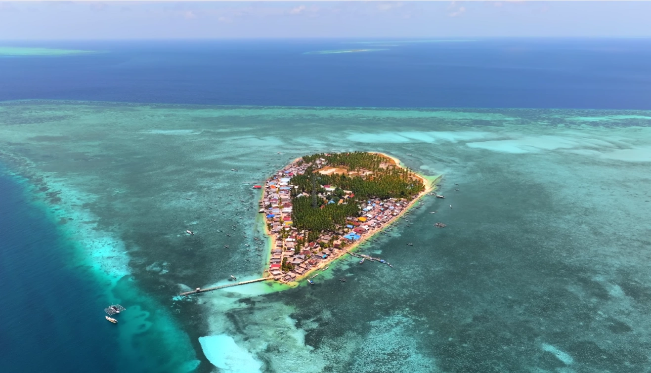
08 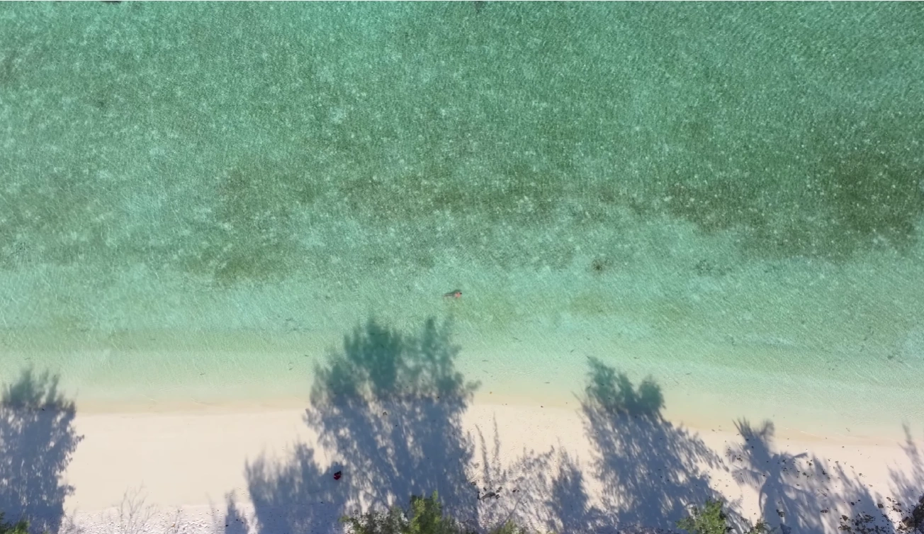
09 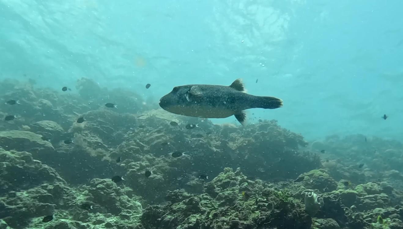
10 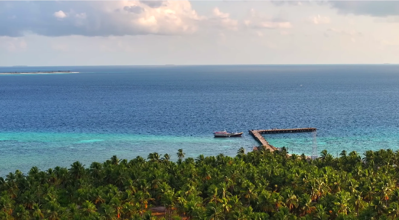
11 12
Taka Bonerate National Park, south-east of Selayar: one of the world's largest coral atolls, with sandy islets, shallow lagoons and wide coral gardens.
When to go and how to get there
Rain in Taka Bonerate, month by month, and the journey in from the nearest airport.
Driest months
Jul – Oct
September is the driest month, with 6 mm of rain on average. December is the wettest, with 281 mm.
- Driest months
- In between
- Wettest months
January: 211 mm, February: 125 mm, March: 126 mm, April: 226 mm, May: 183 mm, June: 151 mm, July: 51 mm, August: 8 mm, September: 6 mm, October: 32 mm, November: 125 mm, December: 281 mm
Rain: CHIRPS v2.0, Climate Hazards Center, UC Santa Barbara, average of 1991-2020. See the weather in Sulawesi by month
Getting there
01 · Fly
To Makassar (UPG)
Daily flights from Jakarta, Bali and across Sulawesi.
02 · Drive
Makassar → Bira
5 – 6 h by car along the coast. Pinisi cruises to the atoll leave from Bira.
03 · Ferry
Bira → Selayar
Car ferry, about 2.5 h. Pattumbukan, where the charter boats leave, is about 3 h by road from the Selayar port.
04 · Boat
Pattumbukan → Taka Bonerate
Chartered boat, 4 – 6 h each way. The crossing is uncomfortable from December to March and from June to August.
Taka Bonerate weather by month
The average rain, temperatures and sea of each month, measured over many years.
| Month | Rain (mm) | High / low (°C) | Sea (°C) | Rough for small boats (% of time) |
|---|---|---|---|---|
| January | 211 | 29 / 27 | 28.9 | 21 |
| February | 125 | 29 / 27 | 28.8 | 19 |
| March | 126 | 29 / 27 | 29.2 | 6 |
| April | 226 | 30 / 27 | 29.6 | 1 |
| May | 183 | 30 / 27 | 29.2 | 2 |
| June | 151 | 29 / 26 | 28.4 | 6 |
| July | 51 | 28 / 26 | 27.5 | 8 |
| August | 8 | 28 / 26 | 27.1 | 8 |
| September | 6 | 28 / 26 | 27.5 | 4 |
| October | 32 | 29 / 27 | 28.5 | 0 |
| November | 125 | 30 / 27 | 29.5 | 0 |
| December | 281 | 30 / 27 | 29.5 | 9 |
Rain: CHIRPS, 1991-2020. Temperatures: NASA POWER, 2001-2025. Sea temperature: NOAA Coral Reef Watch, 1991-2020. Waves: NOAA WAVEWATCH III, 2017-2026, in the open sea about 7 km away. Bays and straits are calmer. Rough means waves of 1.25 m or more, BMKG's warning level for small boats.
Taka Bonerate travel guides
The Sulawesi.com guides that cover Taka Bonerate.
Experiences in Taka Bonerate
Day trips and activities in and around Taka Bonerate. Each one has its own page.
Where to stay, in Bira
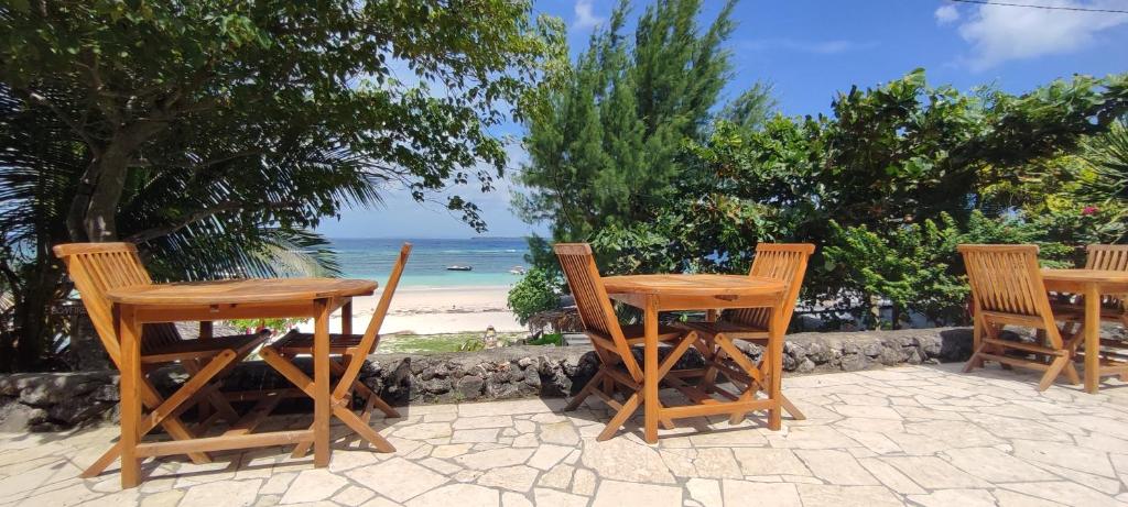
There is nowhere to stay in Taka Bonerate itself. Travellers stay in Bira and go out from there.
 ResortNot yet claimedBulukumba, Tanjung Bira Jl. Poros BaraBara Beach BungalowsSee details
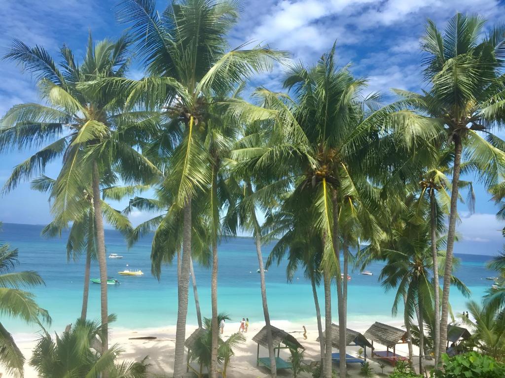 ResortNot yet claimedBara Beach, BulukumbaBaraCoco BungalowsSee details
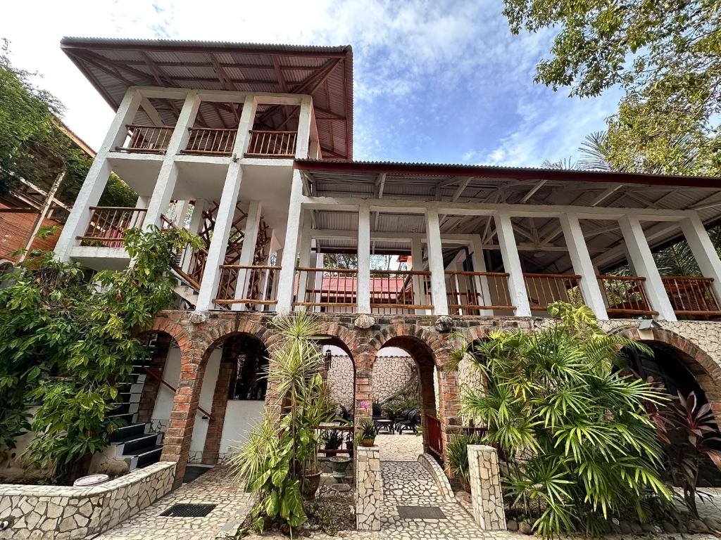 ResortNot yet claimedBara Beach, BulukumbaMangga LodgeSee details
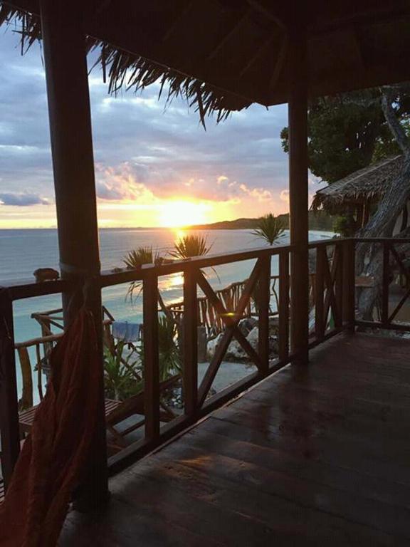 ResortNot yet claimedBara Beach, BulukumbaNini's Beach BungalowsSee details
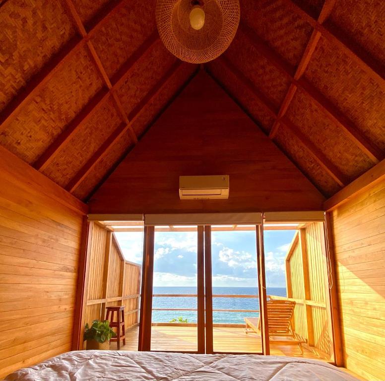 HotelNot yet claimedBiraAresona Cliff HouseSee details
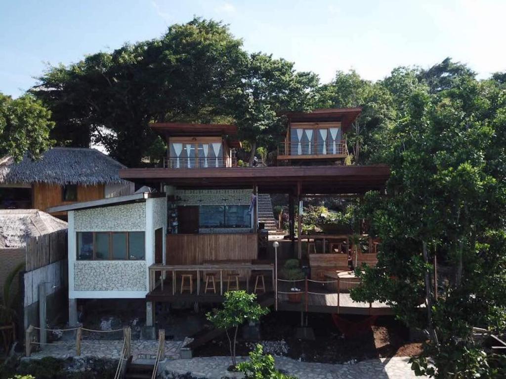 HotelNot yet claimedPantai Bara Tanjung BiraTevana House ReefSee details
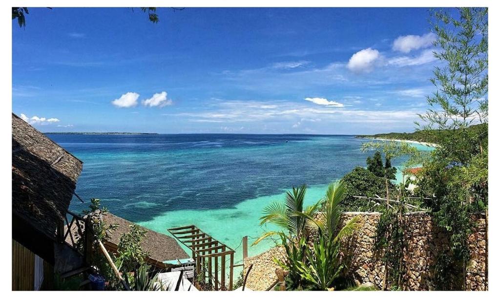 GuesthouseNot yet claimedBara Beach, BulukumbaCosmos BungalowsSee details
 HotelNot yet claimedPhoto: bara-cabana.comTanjung Bira, BulukumbaBara Cabana HotelSee details
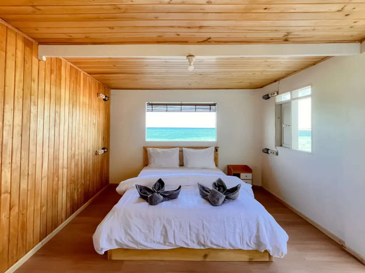 HostelNot yet claimedPhoto: phinisi-hostel.comPanrang Luhu Beach, BulukumbaPhinisi Hostel BiraSee details
- ResortNot yet claimedTanjung Bira, BulukumbaAkasha Beach ClubSee details
- ResortNot yet claimedBira Beach, BulukumbaAmatoa ResortSee details
- ResortNot yet claimedBira Beach, BulukumbaBira Lembang Lohe ResortSee details
- ResortNot yet claimedTanjung Bira, BulukumbaBlue Planet Dive VillageSee details
- ResortNot yet claimedBira Beach, BulukumbaPaduppa Resort BiraSee details
- ResortNot yet claimedBira Beach, BulukumbaPhinisi Beach ResortSee details
- ResortNot yet claimedBara Beach, BulukumbaSeascapesSee details
So, ready to start?
Chat on WhatsApp